T-MEDNET
T-MEDNet network is devoted to spread the acquisition of high resolution temperature series in Mediterranean coastal waters (0-40 m) as well as to facilitate data sharing and analysis. The main aims of the T-MEDNet network are:
- to gather information on high resolution temperature records currently available,
- to furnish information on “how to” implement and maintain new high resolution temperature records
- and ultimately to develop a platform for the management and analysis of high resolution temperature records.

T-MEDNet network users are scientific staff already involved or interested in the acquisition of temperature series (technicians, ecologists, physicians, chemist etc…) and managers of marine coastal areas. T-MEDNet is an initiative of the MedRecover research group based at the Institute of Marine Sciences in Barcelona (Spain).
CORALLIGENOUS SPECIES
Mediterranean coralligenous communities are highly diverse (harbouring around 1600 species corresponding to 20% of Mediterranean species) and of great structural complexity. The species dominating the coralligenous seascape are encrusting calcareous algae, sponges, cnidarians, bryozoans and tunicates. Despite the ecological, aesthetic and economic value of coralligenous outcrops, there is little understanding of coralligenous biodiversity patterns.
In order to raise the awareness of the coralligenous richness, MedRecover decided to develop a database for species dwelling in these communities. This database is intended to help researchers, managers and general public to identify species.
However, this database has not developed to become a reference and much less to replace the advise of specialists.
SEASCAPE SOFTWARE
An important aspect of marine research is to quantify the areal coverage of benthic communities. Benthic cover area is the basis of studies on biodiversity, characterization of communities, evaluation of changes over spatial and temporal scales, and benthic ecosystem health.
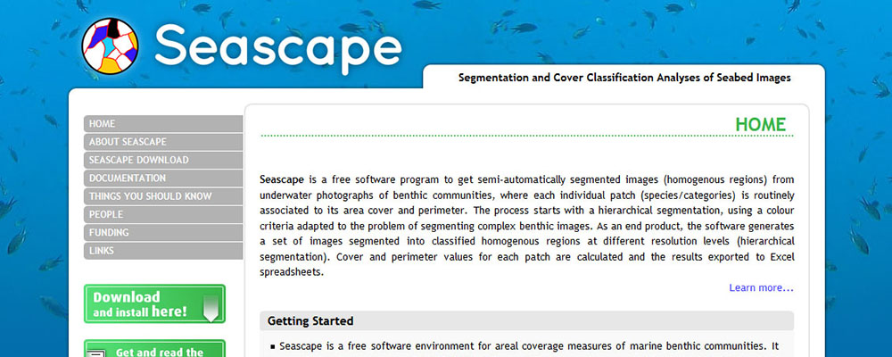
As a result of a multidisciplinary effort with contributions from engineers in computer vision and marine ecologists, we developed the free software Seascape. Seascape obtains semi-automatically segmented images (homogenous regions) from underwater photographs of benthic communities and computes for each individual patch its cover area and perimeter. For more information, please visit the web page www.seascapesoft.org.


